
How remote sensing tech can help fine-tune grass management
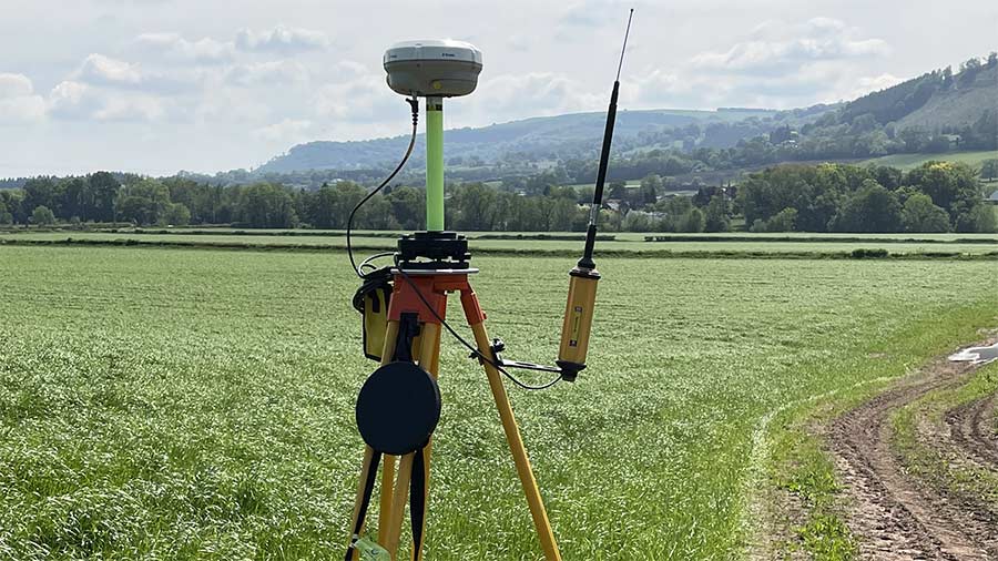 Capturing data from satellites at Hardwick Farm © Farming Connect
 A farm-level study in Wales has shown remote sensors can provide valuable information on how grass responds to inputs.
Furthermore, they can do this in greater detail and more rapidly than if farmers measured grass manually using a rising plate meter.
See also: Grass access worth £26 a cow in 100-day robot trial
Trial method
Tramline trials were established on three grassland farms for the three-year European Innovation Partnership (EIP) Wales project.
During this period a drone, satellite technology and a rising plate meter were used to gather data on how swards responded to different agronomic situations, and the results were compared.
The remote technology uses a system known as spectral reflectance to estimate crop canopy leaf area.
One of the measurements used in the trial was the Wide Dynamic Range Vegetation Index (WDRVI), a record of plant greenness and canopy size.
Growth, and responses to varying application rates of sulphur fertiliser, were monitored in different grass and clover mixes.
The trial also looked at how grass reacted to slurry inputs and other treatments, including grass growth promoters and seaweed extract.
Grass yield was measured at regular intervals.
Results
Analysis of the information from this technology showed it could detect significant differences in the agronomic treatments applied on the study farms which could not be picked up by the plate meter.
The study also showed important differences in the data available from the two remote sensing methods. The drone could detect the smallest treatment differences at a level two or three times smaller than the satellite used.
Adas consultant Katie Evans, who managed the study, says the results of the trial demonstrate that farmers can have confidence in either technology to:
- Estimate grass biomass on their farms
- Work out if, and to what extent, the agronomic treatments they are using increase grass biomass.
Access to technology
At present, a rising plate meter is the most common way of measuring grass yield, but this is time-consuming.
New forage harvester systems can also map grass yield, but relatively few farmers have access to this technology, she says.
This contrasts with the arable sector where most combine harvesters have yield monitors that produce yield maps. Growers can use these maps to understand the effects of different agronomic treatments.
“Access to additional data from satellites and drones could be used to inform precision agronomy and help grassland farmers fine-tune grassland management and improve farm performance,” says Ms Evans.
However, drones require a farmer to have technical expertise to operate and collect data, or to hire a specialised contractor. Expertise is also needed to capture data from satellites, which can only be done in cloudless conditions.
“Both drone and satellite data require specialist analytical skills to test whether an agronomic treatment has had a statistically significant effect on grass growth,” she says.
Drone costs
Using a drone was the most expensive option. It cost about £850 to detect treatment differences for a typical sized field.
Satellite data from the Sentinel-2 satellite was free, but required about £200 worth of a consultant’s time for each field.
Analysing the data to test the effects of agronomic treatments to statistical levels increased the budget further. For the drone, this cost about £400 a field, and for the satellite, £250.
Ms Evans says these costs (which do not include VAT) – are reliant on the farmer being able to provide GPS co-ordinates, and on there being no requirement for additional consultant visits.
“The trials proved treatment effects of between 150 and 1,100kg dry biomass/ha, so the value will soon stack up when applied over several fields,” she says.
This is because it is more likely a group of adjoining fields can be included in the same satellite image.
Farmers could share costs by working together, Ms Evans suggests. For example, three farmers could form a group to fund the cost of two trials.
“This project was about enabling farmers to test the effect of new agronomic practices cheaply and reliably,” she adds.
Case study: Hardwick Farm, Abergavenny
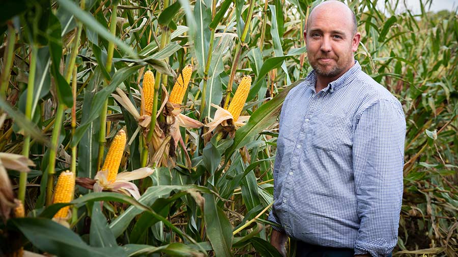
Farmer David Jones © Simon Virgo Photography
Farm facts
Hardwick Farm, Abergavenny
- 200 Holstein Friesians
- Milking robots
- • Cows in milk housed year-round, with dry cows at grass in grazing season
- 20ha (49 acres) reseeded each year
- Farms 221ha (600 acres) including 40ha (100 acres) of maize and 133ha (330 acres) of winter wheat
• Milk supplied to Tesco
Dairy farmer David Jones operates a multi-cut silaging system to make forage for his 200-cow dairy herd.
He relies on data gathered from weighing silage trailers to understand how fields are performing. However, this is only carried out occasionally.
As one of the three farmers who took part in the EIP study, he wanted to find out if technology could provide a better means of getting that information.
He was particularly keen to know which grass seed mixes perform best in his system.
He reseeded a field using three variety mixes: red clover and ryegrass, white clover and ryegrass, and ryegrass only. Each was managed in the same way.
Drone and satellite technology and a rising plate meter were used to monitor growth.
The drone data gave the greatest level of detail, revealing statistically significant differences in the vegetation indices (a measurement of forage biomass).
“Having this information, which I would never have captured from weighing silage trailers, will help inform my reseeding decisions,” says Mr Jones.
Although the cost associated with capturing the data is not insignificant, he is confident the financial outlay could be quickly recouped given soaring input costs.
“I see it as a very worthwhile process to help us maintain the quality of our grass silage,” he says.
“Also, if we are using different rates of fertiliser, we can see what’s working and providing us with value for money. That’s more important now than ever with hyper-inflation.”